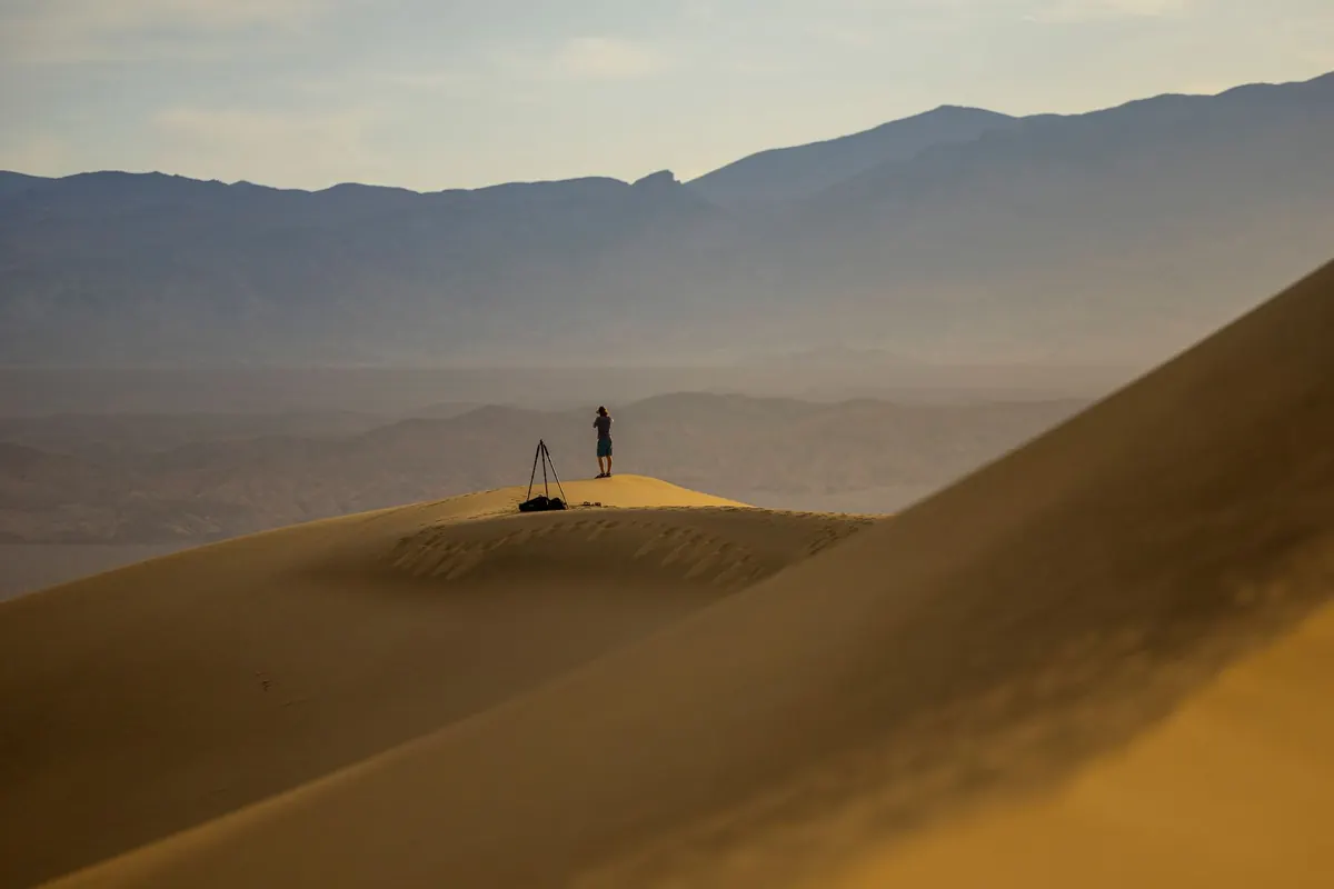
The screen goes black somewhere beyond a ridge line you meant to note, and the desert suddenly feels much larger. It happens for ordinary reasons: a cold night drains the battery, sand works into a charging port, a handset gets dropped. Electronic navigation is excellent until it isn't, and the dunes do not care either way.
The skills that fill the gap are old and learnable. A map, a baseplate compass and the habit of noticing what is around you will carry you across a surprising amount of open sand.
Plan the bearings before you leave the vehicle
Navigation starts at the map, not in the dunes. Before you set off, spread the map on the bonnet — away from the vehicle's metal and the radio — and work out the day's legs in advance. Write each one down: bearing, distance, and a note of what you should see when you arrive.
Then deal with magnetic variation, the difference between grid north on the map and the direction your compass needle actually points. Get this wrong and a long leg will put you a frustrating distance off line. On most British maps the variation is small enough to ignore; in desert regions it can be several degrees. The map margin states the local figure, and the rule for turning a grid bearing into a magnetic one is:
- Easterly variation: subtract it from the grid bearing.
- Westerly variation: add it to the grid bearing.
To go the other way — turning a bearing you took on the ground into a line you can draw on the map — reverse the operation. Write the converted bearing beside each leg so you are not doing mental arithmetic with sweat in your eyes.
Use the compass to steer, not to stare
Hold a baseplate compass flat, set the bearing, and turn your body until the red end of the needle sits inside the orienting arrow — red in the shed. Then look up, pick the most distant feature on that line, and walk to it. Checking the compass every few steps will have you crabbing sideways across the sand; checking it every few minutes, or whenever the ground forces a detour, keeps you honest.
Two habits save a lot of wandering:
- Aim off deliberately. If you are heading for a point on a linear feature — a track, a wadi, a fence line — aim a few degrees to one side of it. You then know which way to turn when you hit the feature, rather than guessing whether you have already crossed it.
- Handrail where you can. Follow a dune crest, a rocky ridge or a dry riverbed that runs roughly your way, and use the compass only to confirm the general direction.
Keep a running log by pacing and timing
Dead reckoning is simply knowing how far you have travelled along a known bearing. It needs two numbers: distance and direction. Direction comes from the compass; distance comes from your feet and your watch.
Pace counting is the reliable one. Measure 100 metres on flat sand while you still have a working GPS, and count the double steps it takes you. That number is personal, and it grows when you are climbing a slip face or pushing through soft sand, so recalibrate on the terrain you are actually crossing. Count in blocks of 100 and mark each block with a stone moved from pocket to pocket, or a stroke in a notebook.
Timing is the backup. Note the time you leave, the time you turn, the time you stop. In soft sand you will move far more slowly than on a road or a hard track, and climbing dunes costs time out of all proportion to the distance on the map.
Write it down: leg, bearing, distance, time. A small notebook and pencil weigh nothing and do not need charging.
If your notes and the ground disagree, trust the ground. The map and compass are tools for explaining what you can see, not replacements for looking.
Read the dunes for direction
Dunes are not random. Wind builds them, and their shape records which way it blows. Most dunes have a long, gentle windward slope and a shorter, steeper lee slope, or slip face, on the downwind side. If you know the prevailing wind for the region — the direction the sand has been travelling for years — those steep faces give you a rough compass even when the needle is useless.
The sun helps as well. It rises roughly in the east and sets roughly in the west, though the arc shifts with the season, so treat it as a coarse guide rather than a bearing. At night, Polaris sits almost due north for northern-hemisphere travellers; in the south, project the long axis of the Southern Cross to find south. A shadow stick, checked over fifteen minutes, gives a reliable east–west line anywhere the sun is shining.
Choose landmarks that outlast the sand
A single dune moves. A crest that looks distinctive in the morning can be a different shape by evening, so build your picture from things that do not shift: rocky outcrops, escarpments, mountain profiles on the horizon, junctions of wadis, old wells, the line of a pipeline or a telegraph route.
From any point where two or three known features are visible, take a bearing to each and draw those lines back on the map. Where they cross is where you are — a resection, and the quickest way to fix your position after a long, uncertain leg.
When you are no longer sure
Stop. Walking on a hunch burns water and daylight. Sit in shade if there is any, drink, and work through it in order: Stop, Think, Observe, Plan. Where were you last certain of your position? What have you passed since? Can you see a landmark you can identify on the map? Do you have a safe option — returning on a back bearing to a known point, or following a handrail feature to a track?
Back bearings are the simplest fix: add or subtract 180 degrees from the bearing you walked and follow it home. Keep the plan conservative, keep it written down, and tell someone where you are going and when you expect to be back.
None of this replaces proper preparation for desert travel: water, shade, a means of signalling, and an honest assessment of your own fitness and experience. If you have any doubt about your health in extreme heat, take advice from a qualified medical professional before you travel.
Practise it before you need it
You do not need a desert to learn this. Take a map and compass to a beach, a moor or a large park and set three short legs, counting paces and recording bearings as you go. Then put the GPS in your pocket and find your way home without it. Do that a few times and the routine becomes automatic: map first, bearings written down, compass for steering, paces and time in the notebook, landmarks ticked off as they appear.
When the battery finally dies out among the dunes, that routine is the difference between a long, uncertain afternoon and simply carrying on.
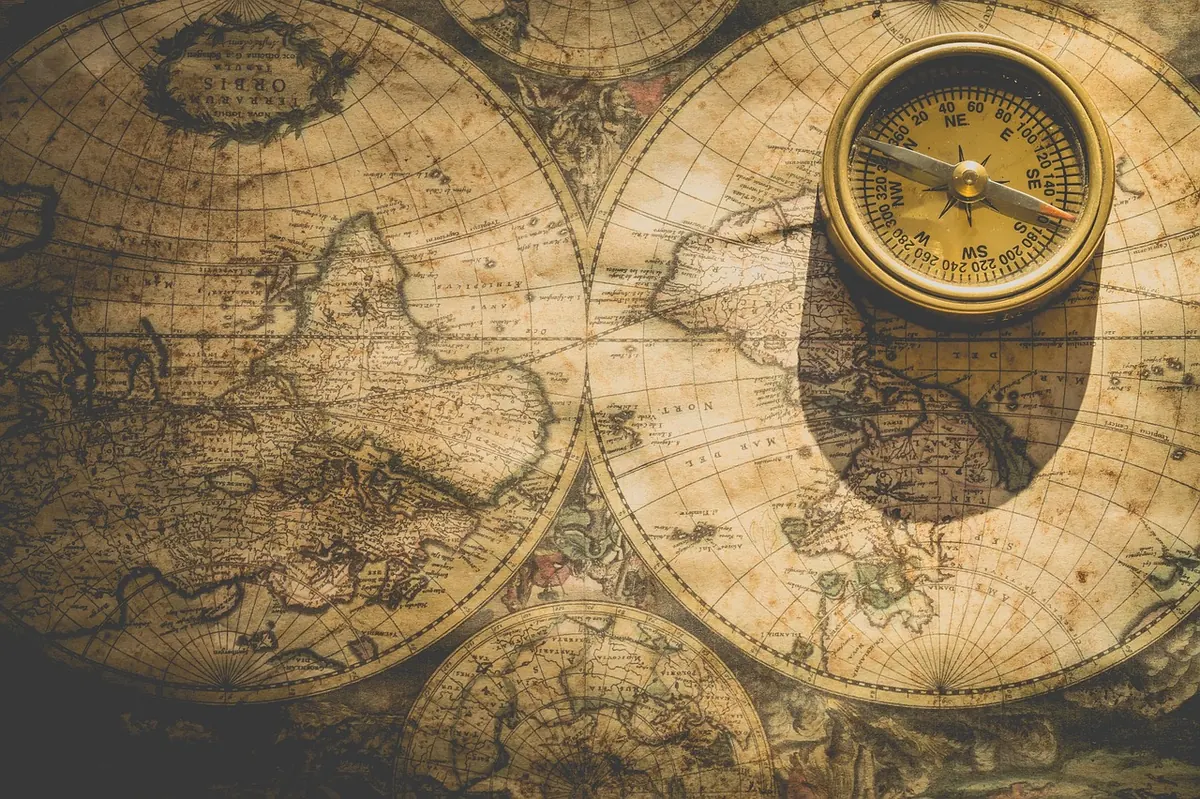
Photo: Ylanite / Pixabay